Kájov | |
|---|---|
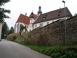 Church of the Assumption of the Virgin Mary | |
 Flag  Coat of arms | |
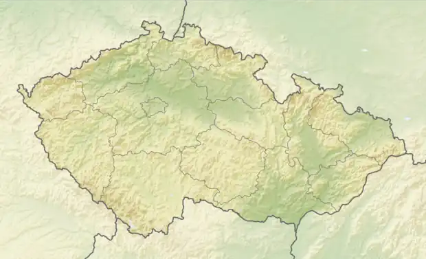 Kájov Location in the Czech Republic | |
| Coordinates: 48°48′39″N 14°15′31″E / 48.81083°N 14.25861°E | |
| Country | |
| Region | South Bohemian |
| District | Český Krumlov |
| First mentioned | 1263 |
| Area | |
| • Total | 49.92 km2 (19.27 sq mi) |
| Elevation | 540 m (1,770 ft) |
| Population (2023-01-01)[1] | |
| • Total | 1,954 |
| • Density | 39/km2 (100/sq mi) |
| Time zone | UTC+1 (CET) |
| • Summer (DST) | UTC+2 (CEST) |
| Postal code | 382 21 |
| Website | www |
Kájov (German: Gojau) is a municipality and village in Český Krumlov District in the South Bohemian Region of the Czech Republic. It has about 2,000 inhabitants.
Kájov lies approximately 5 kilometres (3 mi) west of Český Krumlov, 25 km (16 mi) south-west of České Budějovice, and 143 km (89 mi) south of Prague.
Administrative parts
Villages of Boletice, Kladenské Rovné, Kladné, Křenov, Lazec, Mezipotočí, Novosedly, Přelštice and Staré Dobrkovice are administrative parts of Kájov.
References
Wikimedia Commons has media related to Kájov.
This article is issued from Wikipedia. The text is licensed under Creative Commons - Attribution - Sharealike. Additional terms may apply for the media files.