Danbaba Danfulani Suntai Airport | |||||||||||
|---|---|---|---|---|---|---|---|---|---|---|---|
| Summary | |||||||||||
| Airport type | Public | ||||||||||
| Owner/Operator | Taraba State | ||||||||||
| Serves | Jalingo | ||||||||||
| Elevation AMSL | 685 ft / 209 m | ||||||||||
| Coordinates | 08°54′10″N 11°17′10″E / 8.90278°N 11.28611°E | ||||||||||
| Map | |||||||||||
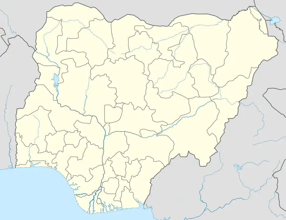 DNJA Location of the airport in Nigeria | |||||||||||
| Runways | |||||||||||
| |||||||||||
Jalingo Airport (IATA: n/a, ICAO: DNJA) renamed Danbaba Danfulani Suntai Airport is a publicly owned airport located in Jalingo, the capital city of Taraba State. It is an airport serving Jalingo and neighboring communities.[1]
Location
The airport is located approximately 10 kilometres (6 mi) west of the central business district of the city center.[2] The geographical coordinates of this airport are: 8°54'10.0"N, 11°17'10.0"E (Latitude:8.902778; Longitude:11.286111).[3] Jalingo Airport lies at an average elevation of 685 feet (209 m) above mean sea level.[4]
Profile
The airport was established in 2014 but commercial operations began in December 2015.[5] The airport is served by a single asphalt runway (07/25) that measures 7,874 feet (2,400 m).[4]
As of 2023, the airport services Overland Airways, with regular scheduled flights between Jalingo Airport and Abuja International Airport. In June 2023, the State of Taraba procured a fire truck and an ambulance to serve this airport.[6]
Terminals
Jalingo Airport has one domestic terminal which presently handles regular scheduled services to and from Abuja.[3]
Airlines and destinations
| Airlines | Destinations |
|---|---|
| Overland Airways | Abuja[7] |
See also
References
- ↑ Great Ozozoyin (12 June 2023). "Gov Kefas working with NCAA, FAAN to reopen Jalingo airport". Daily Post Nigeria. Lagos, Nigeria. Retrieved 17 September 2023.
- ↑ Google (17 September 2023). "Road Distance between Downtown Jalingo and Jalingo Airport in Nigeria" (Map). Google Maps. Google. Retrieved 17 September 2023.
- 1 2 Google (17 September 2023). "Location of Danbaba Danfulani Suntai Airport, Jalingo, Nigeria" (Map). Google Maps. Google. Retrieved 17 September 2023.
- 1 2 GCM (17 September 2023). "Elevation of Jalingo Airport". Great Circle Mapper (GCM). Retrieved 17 September 2023.
- ↑ CAPA (17 September 2023). "CAPA Profiles: Jalingo Airport, Nigeria". Centre for Aviation (CAPA). Sydney, Australia. Retrieved 17 September 2023.
- ↑ Taraba State Government (14 June 2023). "Gov. Agbu Kefas Procures Ambulance and Fire Fighting Truck for Danbaba Suntai Airport". Taraba State Government. Jalingo, Nigeria. Retrieved 17 September 2023.
- ↑ "Overland Airways Route Map". Retrieved 17 September 2023.