Horní Podluží | |
|---|---|
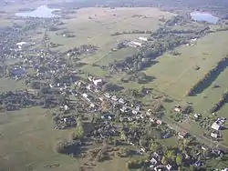 Aerial view | |
 Flag  Coat of arms | |
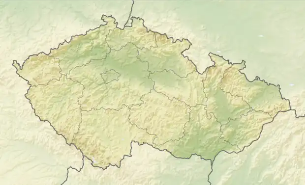 Horní Podluží Location in the Czech Republic | |
| Coordinates: 50°52′53″N 14°32′45″E / 50.88139°N 14.54583°E | |
| Country | |
| Region | Ústí nad Labem |
| District | Děčín |
| First mentioned | 1485 |
| Area | |
| • Total | 7.44 km2 (2.87 sq mi) |
| Elevation | 436 m (1,430 ft) |
| Population (2023-01-01)[1] | |
| • Total | 824 |
| • Density | 110/km2 (290/sq mi) |
| Time zone | UTC+1 (CET) |
| • Summer (DST) | UTC+2 (CEST) |
| Postal code | 407 57 |
| Website | www |
Horní Podluží (until 1947 Horní Grunt; German: Obergrund) is a municipality and village in Děčín District in the Ústí nad Labem Region of the Czech Republic. It has about 800 inhabitants.
Horní Podluží lies approximately 29 kilometres (18 mi) north-east of Děčín, 44 km (27 mi) north-east of Ústí nad Labem, and 89 km (55 mi) north of Prague.
Administrative parts
Hamlets of Ladečka, Světlík and Žofín are administrative parts of Horní Podluží.
References
Wikimedia Commons has media related to Horní Podluží.
This article is issued from Wikipedia. The text is licensed under Creative Commons - Attribution - Sharealike. Additional terms may apply for the media files.