Hopeville, Iowa | |
|---|---|
 Hopeville, Iowa | |
| Coordinates: 40°56′34″N 93°59′48″W / 40.94278°N 93.99667°W | |
| Country | United States |
| State | Iowa |
| County | Clarke |
| Elevation | 1,191 ft (363 m) |
| Time zone | UTC-6 (Central (CST)) |
| • Summer (DST) | UTC-5 (CDT) |
| Area code | 641 |
| GNIS feature ID | 457651[1] |
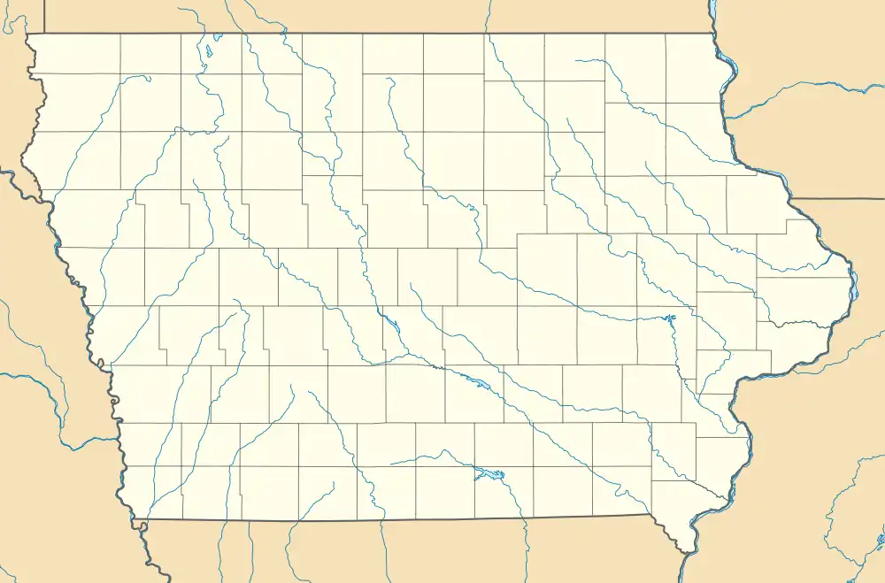
Hopeville is an unincorporated hamlet in Doyle Township, Clarke County, Iowa, United States.[1] Hopeville is located along County Highway H45, 13.5 miles (21.7 km) west-southwest of Osceola. Google Maps has yet to visit Hopeville.[2]
References
- 1 2 "Hopeville". Geographic Names Information System. United States Geological Survey, United States Department of the Interior.
- ↑ "Clarke County, Iowa Highway and Transportation Map" (PDF). Iowa Department of Transportation. January 1, 2017. Retrieved July 17, 2018.
This article is issued from Wikipedia. The text is licensed under Creative Commons - Attribution - Sharealike. Additional terms may apply for the media files.