Hôrka | |
|---|---|
Municipality | |
 | |
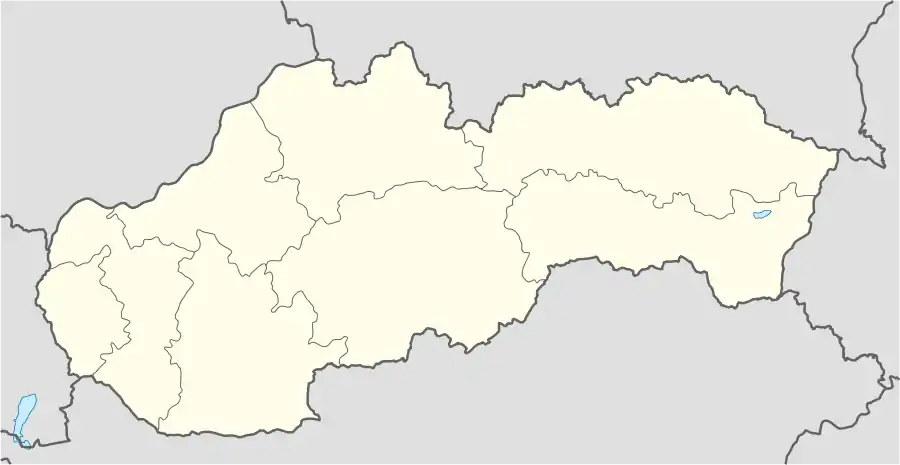 Hôrka Location of Hôrka in Slovakia | |
| Coordinates: 49°01′17″N 20°23′35″E / 49.02139°N 20.39306°E | |
| Country | Slovakia |
| Region | Prešov |
| District | Poprad |
| Founded | 1347 |
| Area | |
| • Total | 11.34[1] km2 (4.38[1] sq mi) |
| Elevation | 600[2] m (2,000[2] ft) |
| Population (2021) | |
| • Total | 2,132[3] |
| Postal code | 059 12[2] |
| Area code | +421 52[2] |
| Car plate | PP |
| Website | www.horka.eu/ |
Hôrka (Slovak pronunciation: [ˈɦʊɔrka]) is a village and municipality in Poprad District in the Prešov Region of northern Slovakia.[4]
Geography
The municipality lies at an altitude of 610 metres and covers an area of 11.305 km2. It has a population of about 1560 people.
History
In historical records the village was first mentioned in 1347.
Economy and infrastructure
Near the village is a wind park. From cultural sightseeings are interesting early gothic Roman Catholic church and a baroque chapel.
See also
References
- 1 2 "Hustota obyvateľstva - obce [om7014rr_ukaz: Rozloha (Štvorcový meter)]". www.statistics.sk (in Slovak). Statistical Office of the Slovak Republic. 2022-03-31. Retrieved 2022-03-31.
- 1 2 3 4 "Základná charakteristika". www.statistics.sk (in Slovak). Statistical Office of the Slovak Republic. 2015-04-17. Retrieved 2022-03-31.
- ↑ "Počet obyvateľov podľa pohlavia - obce (ročne)". www.statistics.sk (in Slovak). Statistical Office of the Slovak Republic. 2022-03-31. Retrieved 2022-03-31.
- ↑ "Statistical Office of the Slovak Republic" (PDF). Výsledky SODB 2011. Štatistický úrad SR. Archived from the original (PDF) on October 12, 2013. Retrieved 9 August 2012.
Genealogical resources
The records for genealogical research are available at the state archive "Statny Archiv in Levoca, Slovakia"
External links
- https://web.archive.org/web/20160801155048/http://horka.e-obce.sk/
- Surnames of living people in Horka
Municipalities of Poprad District | ||
|---|---|---|
This article is issued from Wikipedia. The text is licensed under Creative Commons - Attribution - Sharealike. Additional terms may apply for the media files.