Gusterath | |
|---|---|
.jpg.webp) | |
 Coat of arms | |
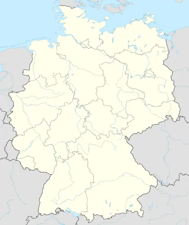
Location of Gusterath within Trier-Saarburg district  | |
 Gusterath  Gusterath | |
| Coordinates: 49°42′3″N 6°43′2″E / 49.70083°N 6.71722°E | |
| Country | Germany |
| State | Rhineland-Palatinate |
| District | Trier-Saarburg |
| Municipal assoc. | Ruwer |
| Area | |
| • Total | 4.41 km2 (1.70 sq mi) |
| Elevation | 261 m (856 ft) |
| Population (2021-12-31)[1] | |
| • Total | 2,014 |
| • Density | 460/km2 (1,200/sq mi) |
| Time zone | UTC+01:00 (CET) |
| • Summer (DST) | UTC+02:00 (CEST) |
| Postal codes | 54317 |
| Dialling codes | 06588 |
| Vehicle registration | TR |
| Website | www.gusterath.de |
Gusterath is a municipality in the Trier-Saarburg district, in Rhineland-Palatinate, Germany. It belongs to the Verbandsgemeinde Ruwer.
Geography
Gusterath is located in the Ruwer valley close to Trier. To the north, the closest villages are Korlingen and Gutweiler. Due east is Lonzenburg, itself a part of Schöndorf. Pluwig is to the south and Hockweiler to the west. The closest part of Trier to Gusterath is Irsch.
History
In the era of Ancient Rome, several small farms existed in the area of modern Gusterath.
Politics
Local mayor
- 1987–2009: Günter Scherer, SPD
- 2009–2019: Alfred Bläser, FWG
- since 2019: Stefan Metzdorf, SPD
References
Wikimedia Commons has media related to Gusterath.
This article is issued from Wikipedia. The text is licensed under Creative Commons - Attribution - Sharealike. Additional terms may apply for the media files.