Guragunta
Gudagunti | |
|---|---|
Village | |
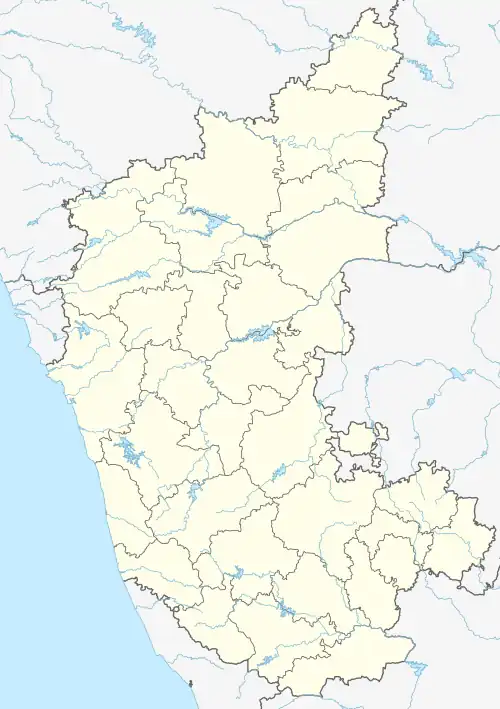 Guragunta 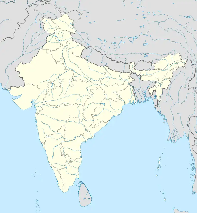 Guragunta | |
| Coordinates: 16°15′21″N 76°33′46″E / 16.25583°N 76.56278°E | |
| Country | |
| State | Karnataka |
| District | Raichur district |
| Taluk | Lingasugur |
| Population (2011) | |
| • Total | 14,375 |
| Languages | |
| • Official | Kannada |
| Time zone | UTC+5:30 (IST) |
| PIN | 584139 |
| Telephone code | 08537 |
| Vehicle registration | KA-36 |
Gurgunta, also spelled as Guragunta, is a village in the northern state of Karnataka, India.[1][2] Gurgunta is located to the south of Krishna River, at an elevation of 464 metres above the sea level.[3]
Demographics
As of 2001 India census, Gurgunta had a population of 10207 with 5207 males and 5000 females.[1] Gurgunta is situated on sh 19.
See also
References
- 1 2 Village code= 475300 "Census of India : Villages with population 5000 & above". Registrar General & Census Commissioner, India. Retrieved 18 December 2008.
- ↑ "Yahoomaps India :". Retrieved 18 December 2008. Gurgunta, Raichur, Karnataka
- ↑ "Gurugunta topographic map, elevation, terrain". Topographic maps. Retrieved 13 October 2023.
External links
This article is issued from Wikipedia. The text is licensed under Creative Commons - Attribution - Sharealike. Additional terms may apply for the media files.