Gurat | |
|---|---|
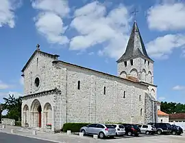 Church and village car-park | |
Location of Gurat | |
 Gurat 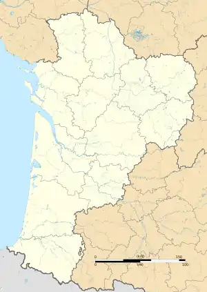 Gurat | |
| Coordinates: 45°25′49″N 0°16′13″E / 45.4303°N 0.2703°E | |
| Country | France |
| Region | Nouvelle-Aquitaine |
| Department | Charente |
| Arrondissement | Angoulême |
| Canton | Tude-et-Lavalette |
| Intercommunality | Lavalette Tude Dronne |
| Government | |
| • Mayor (2020–2026) | Bénédicte Goreau[1] |
| Area 1 | 16.03 km2 (6.19 sq mi) |
| Population | 183 |
| • Density | 11/km2 (30/sq mi) |
| Time zone | UTC+01:00 (CET) |
| • Summer (DST) | UTC+02:00 (CEST) |
| INSEE/Postal code | 16162 /16320 |
| Elevation | 72–197 m (236–646 ft) (avg. 87 m or 285 ft) |
| 1 French Land Register data, which excludes lakes, ponds, glaciers > 1 km2 (0.386 sq mi or 247 acres) and river estuaries. | |
Gurat (French pronunciation: [ɡyʁa]; Occitan: Gurac) is a commune in the Charente department in southwestern France.
Geography
The Lizonne forms the commune's southeastern border.
Population
| Year | Pop. | ±% p.a. |
|---|---|---|
| 1968 | 261 | — |
| 1975 | 216 | −2.67% |
| 1982 | 234 | +1.15% |
| 1990 | 210 | −1.34% |
| 1999 | 184 | −1.46% |
| 2009 | 189 | +0.27% |
| 2014 | 182 | −0.75% |
| 2020 | 183 | +0.09% |
| Source: INSEE[3] | ||
See also
References
- ↑ "Répertoire national des élus: les maires". data.gouv.fr, Plateforme ouverte des données publiques françaises (in French). 9 August 2021.
- ↑ "Populations légales 2021". The National Institute of Statistics and Economic Studies. 28 December 2023.
- ↑ Population en historique depuis 1968, INSEE
Wikimedia Commons has media related to Gurat.
This article is issued from Wikipedia. The text is licensed under Creative Commons - Attribution - Sharealike. Additional terms may apply for the media files.