Gungavada
Gungwada | |
|---|---|
village | |
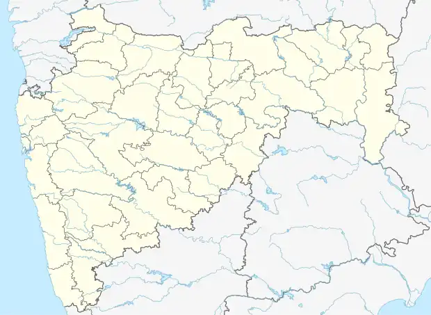 Gungavada Location in Maharashtra, India 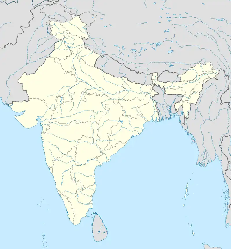 Gungavada Gungavada (India) | |
| Coordinates: 19°57′16″N 72°41′36″E / 19.9543168°N 72.6934594°E | |
| Country | India |
| State | Maharashtra |
| District | Palghar |
| Taluka | Dahanu |
| Elevation | 11 m (36 ft) |
| Population (2011) | |
| • Total | 1,328 |
| Time zone | UTC+5:30 (IST) |
| 2011 census code | 551718 |
Gungavada is a village in the Palghar district of Maharashtra, India. It is located in the Dahanu taluka.[1]
Demographics
According to the 2011 census of India, Gungavada has 303 households. The effective literacy rate (i.e. the literacy rate of population excluding children aged 6 and below) is 92.45%.[2]
| Total | Male | Female | |
|---|---|---|---|
| Population | 1328 | 662 | 666 |
| Children aged below 6 years | 110 | 61 | 49 |
| Scheduled caste | 0 | 0 | 0 |
| Scheduled tribe | 36 | 19 | 17 |
| Literates | 1126 | 573 | 553 |
| Workers (all) | 468 | 380 | 88 |
| Main workers (total) | 464 | 379 | 85 |
| Main workers: Cultivators | 47 | 33 | 14 |
| Main workers: Agricultural labourers | 32 | 20 | 12 |
| Main workers: Household industry workers | 127 | 121 | 6 |
| Main workers: Other | 258 | 205 | 53 |
| Marginal workers (total) | 4 | 1 | 3 |
| Marginal workers: Cultivators | 0 | 0 | 0 |
| Marginal workers: Agricultural labourers | 2 | 1 | 1 |
| Marginal workers: Household industry workers | 1 | 0 | 1 |
| Marginal workers: Others | 1 | 0 | 1 |
| Non-workers | 860 | 282 | 578 |
References
- ↑ "Maharashtra villages" (PDF). Land Records Information Systems Division, NIC. Archived from the original (PDF) on 4 March 2016. Retrieved 17 August 2015.
- 1 2 "District census data". 2011 Census of India. Directorate of Census Operations. Retrieved 17 August 2015.
This article is issued from Wikipedia. The text is licensed under Creative Commons - Attribution - Sharealike. Additional terms may apply for the media files.