El Mandho | |
|---|---|
Municipality and town | |
.svg.png.webp) Location of El Mandho in Hidalgo | |
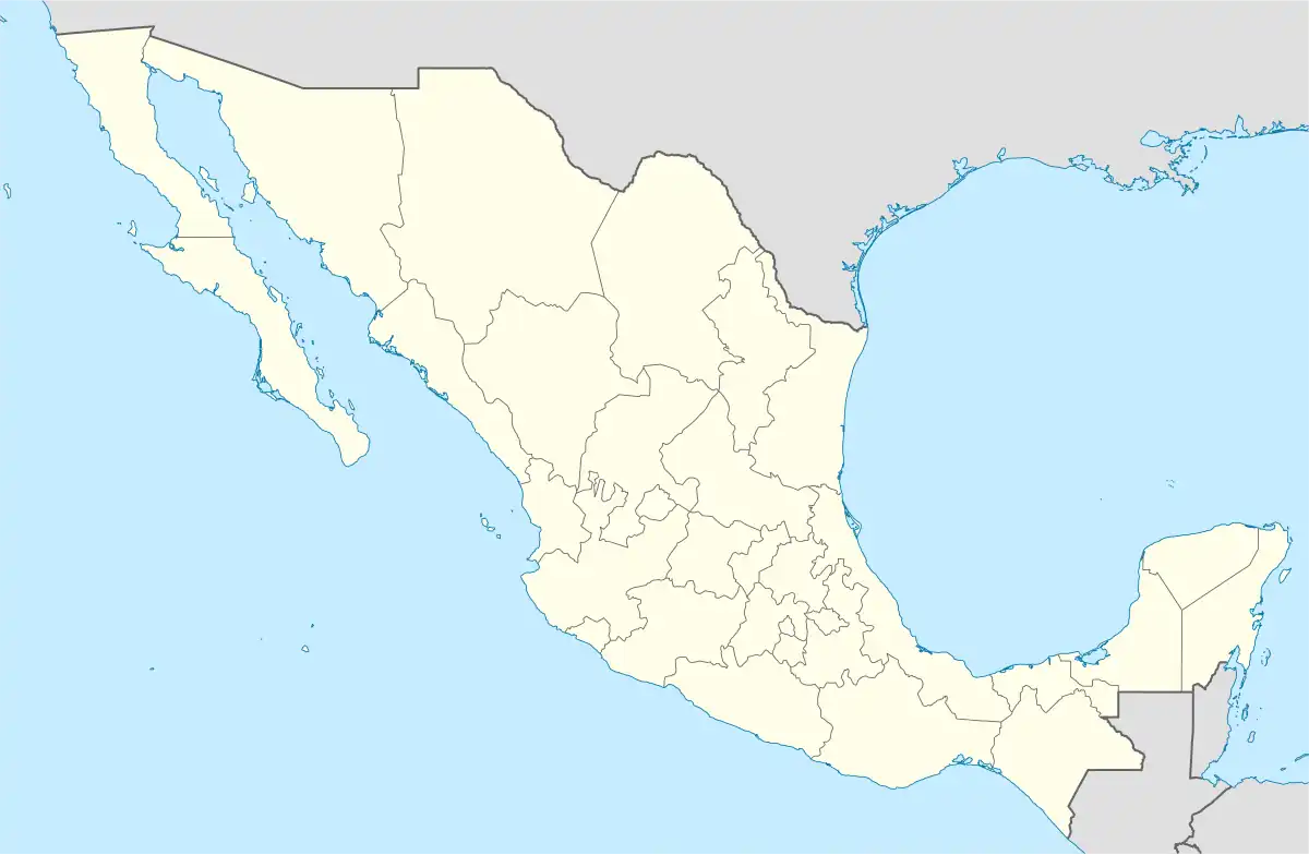 El Mandho Location in Mexico | |
| Coordinates: 21°11′36″N 99°0′18″W / 21.19333°N 99.00500°W | |
| Country | |
| State | Hidalgo |
| Municipal seat | Ixmiquilpan |
| Area | |
| • Total | 159.3 km2 (61.5 sq mi) |
| Population (2020) | |
| • Total | 1,082 |
| [1] | |
| Time zone | UTC-06:00 |
| Area code | 759[2] |
El Mandho is a town in Mexico located in the municipality of Ixmiquilpan in the state of Hidalgo.
Toponymy
It comes from the Otomí language and means long stone.[3][4]
Geography
It's located in the geographical region of the Mezquital Valley.[5] A The locality corresponds to the geographical coordinates 20° 30' 05.738” of latitude north and 99° 14' 07.138” of longitude west, with an altitude of 1681 m s. n. m.[6] It has a temperate semi-dry climate.[7][8][9]
As for physiography it is located in the province of the Neovolcanic Axis, within the subprovince of Llanuras y Sierras de Querétaro and Hidalgo; its land is lomerío.[7][8][10] With regard to the hydrography it is positioned in the Pánuco region, within the basin of the Moctezuma River, in the sub-basin of the Tula River.[7][8][11]
Demography
In 2020, it registered a population of 1082 people, which corresponds to 1.10% of the municipal population. Of which 508 are men and 574 are women.
| Year | Pop. | ±% |
|---|---|---|
| 1910 | 50 | — |
| 1921 | 352 | +604.0% |
| 1930 | 132 | −62.5% |
| 1940 | 351 | +165.9% |
| 1950 | 637 | +81.5% |
| 1960 | 310 | −51.3% |
| 1970 | 486 | +56.8% |
| 1980 | 575 | +18.3% |
| 1990 | 873 | +51.8% |
| 1995 | 911 | +4.4% |
| 2000 | 841 | −7.7% |
| 2005 | 806 | −4.2% |
| 2010 | 897 | +11.3% |
| 2020 | 1,082 | +20.6% |
See also
References
- ↑ National Institute of Statistics and Geography (2010). "Main results by location 2010(ITER)".
- ↑ "LADA Keys Consultation". Telephones of Mexico. Retrieved September 2, 2018.
- ↑ Quezada Ramírez, María Félix. The Indigenous Communities of Hidalgo. Ixmiquilpan Vol. III. Mexico. Graphic Workshops of the Autonomous University of the State of Hidalgo, 2015.
- ↑ Ecker, Lawrence. Etymological Dictionary of the Colonial Otomi and Otomi Grammar Compendium. Mexico. Edition by Yolanda Lastra and Doris Bartholomew. UNAM, Institute of Anthropological Research, 2012.
- ↑ "Geocultural Regions of the State of Hidalgo". Secretariat of Culture of the State of Hidalgo. Government of the State of Hidalgo. Archived from the original on July 9, 2021. Retrieved July 9, 2021.
- ↑ INEGI. "Historical archive of geo-statistics locations". National Institute of Statistics and Geography. Retrieved January 11, 2021.
- 1 2 3 Instituto Nacional para el Federalismo y el Desarrollo Municipal (2013). "Enciclopedia de los Municipios y Delegaciones de México: Ixmiquilpan, Hidalgo". Secretariat of the Interior. Gobierno de México. Archived from the original on 13 January 2021. Retrieved 11 January 2021.
- 1 2 3 INEGI. "Ixmiquilpan, Hidalgo" (PDF). Municipal geographic information record of the United Mexican States. National Institute of Statistics and Geography. Retrieved January 11, 2021.
- ↑ INEGI. "Climatology". Geostatistical Framework. Instituto Nacional de Estadística y Geografía. Retrieved January 11, 2021.
- ↑ INEGI. "Fisiografía". Geostatistical Framework. National Institute of Statistics and Geography. Retrieved January 11, 2021.
- ↑ INEGI. "Hidrografía". Geostatistical Framework. National Institute of Statistics and Geography. Retrieved January 11, 2021.
External links
- H. Ixmiquilpan City Council - Official Site
- Government of the state of Hidalgo - Official site