| East Branch Dead Diamond River | |
|---|---|
  | |
| Location | |
| Country | United States |
| State | New Hampshire |
| County | Coos |
| Town and township | Pittsburg, Atkinson & Gilmanton Academy Grant |
| Physical characteristics | |
| Source | |
| • location | Pittsburg |
| • coordinates | 45°7′6″N 71°7′24″W / 45.11833°N 71.12333°W |
| • elevation | 2,580 ft (790 m) |
| Mouth | Dead Diamond River |
• location | Atkinson & Gilmanton Academy Grant |
• coordinates | 45°0′9″N 71°8′54″W / 45.00250°N 71.14833°W |
• elevation | 1,435 ft (437 m) |
| Length | 12.7 mi (20.4 km) |
| Basin features | |
| Tributaries | |
| • left | Laflamme Brook, Boardpile Brook |
The East Branch of the Dead Diamond River is a 12.7-mile-long (20.4 km) river in northern New Hampshire in the United States. It is a tributary of the Dead Diamond River, located in the Androscoggin River watershed of Maine and New Hampshire.[1]
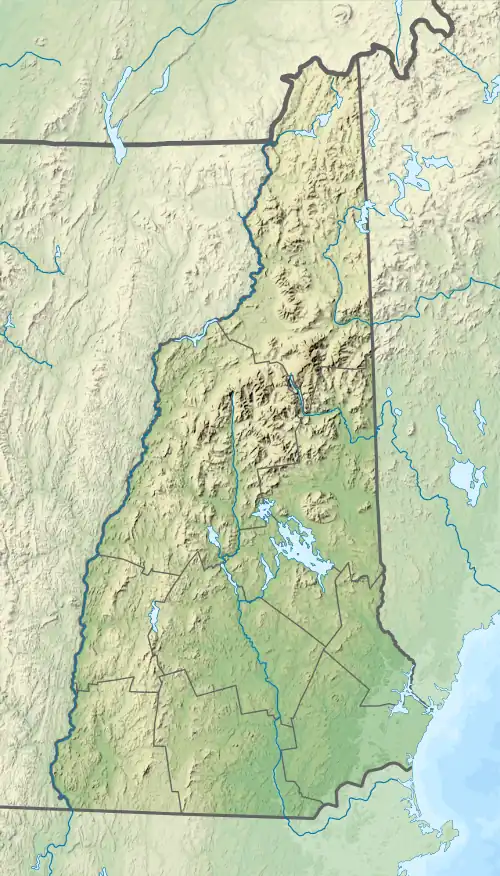
The East Branch of the Dead Diamond River rises in the town of Pittsburg between 3,627-foot (1,106 m) Stub Hill and 3,230-foot (980 m) Diamond Ridge. Nearly the entire length of the river is in Pittsburg, with a small portion at its southern end in the Atkinson and Gilmanton Academy Grant. A highlight along the river are the 40-foot-high (12 m) Garfield Falls.
See also
References
This article is issued from Wikipedia. The text is licensed under Creative Commons - Attribution - Sharealike. Additional terms may apply for the media files.