Division No. 13 | |
|---|---|
| Country | Canada |
| Province | Alberta |
| Area | |
| • Total | 24,374 km2 (9,411 sq mi) |
| As of 2011 | |
| Population (2011)[1] | |
| • Total | 68,919 |
| • Density | 2.8/km2 (7.3/sq mi) |
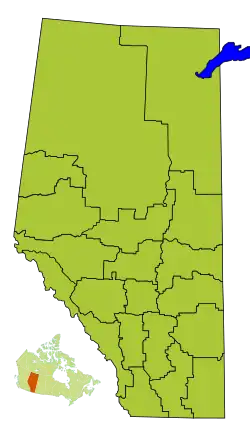
Division No. 13 is a census division in Alberta, Canada. The majority of the division is located in the north-central portion of central Alberta, while the northeast portion of the division is located within northern Alberta. The division's largest urban community is the Town of Whitecourt.
Census subdivisions
The following census subdivisions (municipalities or municipal equivalents) are located within Alberta's Division No. 13.[2][3]
- Towns
- Villages
- Summer villages
- Municipal districts
- Indian reserves
Demographics
In the 2021 Census of Population conducted by Statistics Canada, Division No. 13 had a population of 68,076 living in 27,482 of its 34,696 total private dwellings, a change of -4.1% from its 2016 population of 71,016. With a land area of 24,308.74 km2 (9,385.66 sq mi), it had a population density of 2.8/km2 (7.3/sq mi) in 2021.[4]
See also
References
- 1 2 "Population and dwelling counts, for Canada, provinces and territories, and census divisions, 2011 and 2006 censuses (Alberta)". Statistics Canada. February 8, 2012. Retrieved February 16, 2012.
- ↑ "2006 Community Profiles, Geographic hierarchy – Division No. 13 (Census division)". Statistics Canada. December 7, 2010. Retrieved August 30, 2011.
- ↑ "2022 Municipal Codes" (PDF). Alberta Municipal Affairs. January 5, 2022. Retrieved January 21, 2022.
- ↑ "Population and dwelling counts: Canada and census divisions". Statistics Canada. February 9, 2022. Retrieved April 2, 2022.
Places adjacent to Division No. 13, Alberta | |
|---|---|
Subdivisions of Alberta | |
|---|---|
| Subdivisions | |
| Communities | |
| Cities and urban service areas | |
| Census divisions | |
| |