| Czarna | |
|---|---|
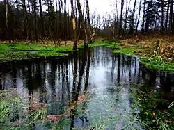 Beaver pond on the Czarna | |
| Location | |
| Country | Poland |
| Physical characteristics | |
| Mouth | |
• location | Łęg |
• coordinates | 50°11′53″N 21°56′18″E / 50.198025°N 21.938275°E |
| Length | 3 km (1.9 mi) |
The Czarna[1] [ˈt͡ʂarna] is a small watercourse in south-eastern Poland. With a length of 3 kilometres (2 miles), the Czarna constitutes a right-bank tributary of the Łęg River.[2] Its source is in the village of Styków in Subcarpathian Voivodeship.
Wikimedia Commons has media related to Czarna.
References
- ↑ Hydroportal KZGW [2021-03-18]
- ↑ Topographic map of Poland, scale 1:10 000 GUGiK
This article is issued from Wikipedia. The text is licensed under Creative Commons - Attribution - Sharealike. Additional terms may apply for the media files.