| Corrigan Creek | |
|---|---|
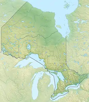 Location of the creek mouth in Ontario | |
| Location | |
| Country | Canada |
| State | Ontario |
| Region | Northwestern Ontario |
| District | Thunder Bay |
| Municipality | Greenstone |
| Physical characteristics | |
| Source | Corrigan Lake |
| • coordinates | 49°42′32″N 87°55′10″W / 49.70889°N 87.91944°W |
| • elevation | 321 m (1,053 ft) |
| Mouth | Namewaminikan River |
• coordinates | 49°43′23″N 87°56′37″W / 49.72306°N 87.94361°W |
• elevation | 300 m (980 ft) |
| Length | 2.5 km (1.6 mi) |
| Basin features | |
| River system | Great Lakes Basin |
Corrigan Creek is a stream in the municipality of Greenstone, Thunder Bay District in northwestern Ontario, Canada.[1] It is in the Great Lakes Basin, is a left tributary of the Namewaminikan River, and lies in the geographic township of Sandra.[2]
The river flows northwest 2.5 kilometres (1.6 mi) from Corrigan Lake to its mouth at the Namewaminikan River. The Namewaminikan River flows via Lake Nipigon and the Nipigon River to Lake Superior.
References
- ↑ "Corrigan Creek". Geographical Names Data Base. Natural Resources Canada. Retrieved 2016-03-13.
- ↑ "Sandra" (PDF). Geology Ontario - Historic Claim Maps. Ontario Ministry of Northern Development, Mines and Forestry. Archived from the original (PDF) on 2017-01-17. Retrieved 2016-03-13.
Sources
- Map 14 (PDF) (Map). 1 : 1,600,000. Official road map of Ontario. Ministry of Transportation of Ontario. 2014. Retrieved 2016-03-13.
- Restructured municipalities - Ontario map #2 (Map). Restructuring Maps of Ontario. Ontario Ministry of Municipal Affairs and Housing. 2006. Archived from the original on 2014-04-10. Retrieved 2016-03-13.
This article is issued from Wikipedia. The text is licensed under Creative Commons - Attribution - Sharealike. Additional terms may apply for the media files.