| Chavanon | |
|---|---|
 The Chavanon between Feyt and Bourg-Lastic | |
  | |
| Location | |
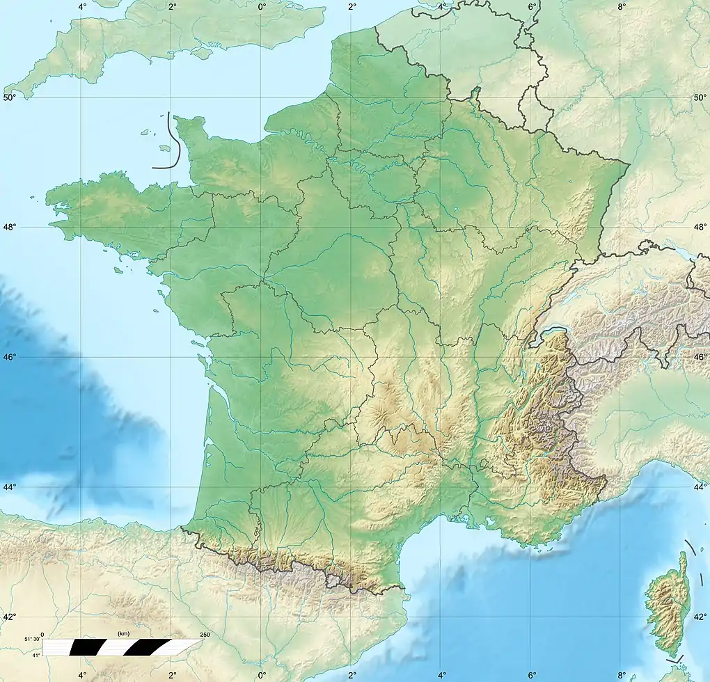
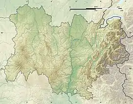
| Country | France |
| Physical characteristics | |
| Source | |
| • location | Crocq |
| • coordinates | 45°50′26″N 02°22′40″E / 45.84056°N 2.37778°E |
| • elevation | 780 m (2,560 ft) |
| Mouth | |
• location | Dordogne |
• coordinates | 45°33′14″N 02°30′57″E / 45.55389°N 2.51583°E |
• elevation | 530 m (1,740 ft) |
| Length | 54.2 km (33.7 mi) |
| Basin size | 474 km2 (183 sq mi) |
| Discharge | |
| • average | 6.53 m3/s (231 cu ft/s) |
| Basin features | |
| Progression | Dordogne→ Gironde estuary→ Atlantic Ocean |
The Chavanon (French pronunciation: [ʃavanɔ̃]; Occitan: Chavanon) (also called la Ramade) is a 54.2-kilometre (33.7 mi) long river in the Creuse, Puy-de-Dôme, and Corrèze départements, central France.[1] Its source is in Crocq. It flows generally southeast. It is a right tributary of the Dordogne into which it flows between Savennes and Confolent-Port-Dieu.
On most of its course, it forms part of the boundary between the Limousin and Auvergne regions.
Départements and communes along its course
This list is ordered from source to mouth:
- Creuse: Crocq, Basville, Flayat
- Puy-de-Dôme: Fernoël, Giat,
- Creuse: Saint-Merd-la-Breuille,
- Puy-de-Dôme: Verneugheol,
- Corrèze: Laroche-près-Feyt,
- Puy-de-Dôme: Saint-Germain-près-Herment, Bourg-Lastic,
- Corrèze: Feyt, Monestier-Merlines,
- Puy-de-Dôme: Messeix,
- Corrèze: Merlines,
- Puy-de-Dôme: Savennes,
- Corrèze: Saint-Étienne-aux-Clos, Confolent-Port-Dieu,
References
Wikimedia Commons has media related to Chavanon.
This article is issued from Wikipedia. The text is licensed under Creative Commons - Attribution - Sharealike. Additional terms may apply for the media files.