Cers | |
|---|---|
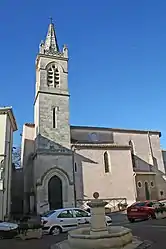 Church St-Genies | |
.svg.png.webp) Coat of arms | |
Location of Cers | |
 Cers 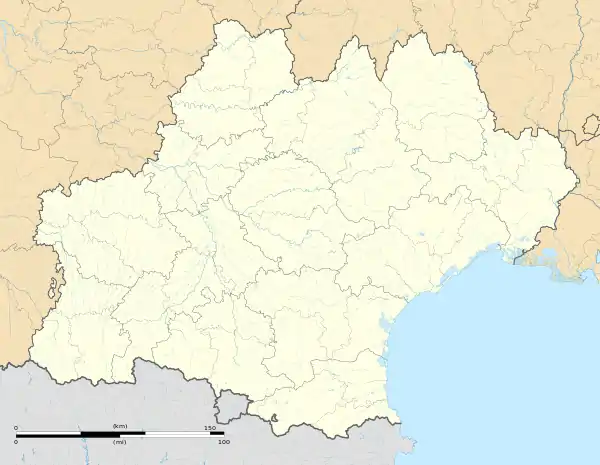 Cers | |
| Coordinates: 43°19′27″N 3°18′19″E / 43.3242°N 3.3053°E | |
| Country | France |
| Region | Occitania |
| Department | Hérault |
| Arrondissement | Béziers |
| Canton | Béziers-3 |
| Intercommunality | CA Béziers Méditerranée |
| Government | |
| • Mayor (2020–2026) | Didier Bresson[1] |
| Area 1 | 7.85 km2 (3.03 sq mi) |
| Population | 2,535 |
| • Density | 320/km2 (840/sq mi) |
| Time zone | UTC+01:00 (CET) |
| • Summer (DST) | UTC+02:00 (CEST) |
| INSEE/Postal code | 34073 /34420 |
| Elevation | 3–48 m (9.8–157.5 ft) (avg. 15 m or 49 ft) |
| 1 French Land Register data, which excludes lakes, ponds, glaciers > 1 km2 (0.386 sq mi or 247 acres) and river estuaries. | |
Cers (French pronunciation: [sɛʁs]; Occitan: Cèrç) is a commune in the Hérault department in southern France.

Map
Population
| Year | Pop. | ±% p.a. |
|---|---|---|
| 1968 | 666 | — |
| 1975 | 840 | +3.37% |
| 1982 | 1,350 | +7.01% |
| 1990 | 1,798 | +3.65% |
| 1999 | 1,803 | +0.03% |
| 2007 | 2,222 | +2.65% |
| 2012 | 2,211 | −0.10% |
| 2017 | 2,566 | +3.02% |
| Source: INSEE[3] | ||
See also
References
- ↑ "Répertoire national des élus: les maires" (in French). data.gouv.fr, Plateforme ouverte des données publiques françaises. 13 September 2022.
- ↑ "Populations légales 2021". The National Institute of Statistics and Economic Studies. 28 December 2023.
- ↑ Population en historique depuis 1968, INSEE
Wikimedia Commons has media related to Cers.
This article is issued from Wikipedia. The text is licensed under Creative Commons - Attribution - Sharealike. Additional terms may apply for the media files.