| Beaverdam Branch Tributary to Marshyhope Creek | |
|---|---|
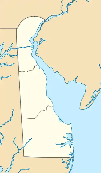 Location of Beaverdam Branch mouth  Beaverdam Branch (Marshyhope Creek tributary) (the United States) | |
| Location | |
| Country | United States |
| State | Delaware |
| County | Kent |
| Physical characteristics | |
| Source | Price Prong divide |
| • location | about 1-mile east-southeast of Brownsville, Delaware |
| • coordinates | 38°56′6.00″N 075°40′15.00″W / 38.9350000°N 75.6708333°W[1] |
| • elevation | 60 ft (18 m)[1] |
| Mouth | Marshyhope Creek |
• location | McKnatts Corner, Delaware |
• coordinates | 38°54′22.41″N 075°38′46.74″W / 38.9062250°N 75.6463167°W[1] |
• elevation | 43 ft (13 m)[1] |
| Length | 2.89 mi (4.65 km)[2] |
| Basin size | 2.69 square miles (7.0 km2)[3] |
| Discharge | |
| • location | Marshyhope Creek |
| • average | 3.26 cu ft/s (0.092 m3/s) at mouth with Marshyhope Creek[3] |
| Basin features | |
| Progression | Marshyhope Creek → Nanticoke River → Chesapeake Bay → Atlantic Ocean[2] |
| River system | Nanticoke River |
| Tributaries | |
| • left | unnamed tributaries |
| • right | unnamed tributaries |
| Bridges | Whiteleysburg Road, Fox Hunters Road |
Beaverdam Branch is a 2.89 mi (4.65 km) long first-order tributary to Marshyhope Creek in Kent County, Delaware.
Course
Beaverdam Branch rises on the Price Prong divide about 1-mile east-southeast of Brownsville, Delaware, and then flows generally southeast to join Marshyhope Creek at McKnatts Corner, Delaware.[1]
Watershed
Beaverdam Branch drains 2.69 square miles (7.0 km2) of area, receives about 44.8 in/year of precipitation, and is about 8.42% forested.[3]
See also
References
- 1 2 3 4 5 "Geographic Names Information System". edits.nationalmap.gov. US Geological Survey. Retrieved March 21, 2023.
- 1 2 "ArcGIS Web Application". epa.maps.arcgis.com. US EPA. Retrieved March 21, 2023.
- 1 2 3 "Beaverdam Branch Watershed Report". watersgeo.epa.gov. US EPA. Retrieved March 21, 2023.
This article is issued from Wikipedia. The text is licensed under Creative Commons - Attribution - Sharealike. Additional terms may apply for the media files.