Ahırlı | |
|---|---|
District and municipality | |
 | |
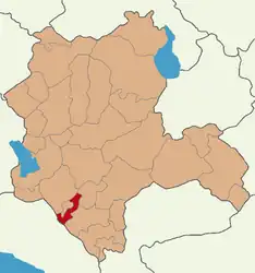 Map showing Ahırlı District in Konya Province | |
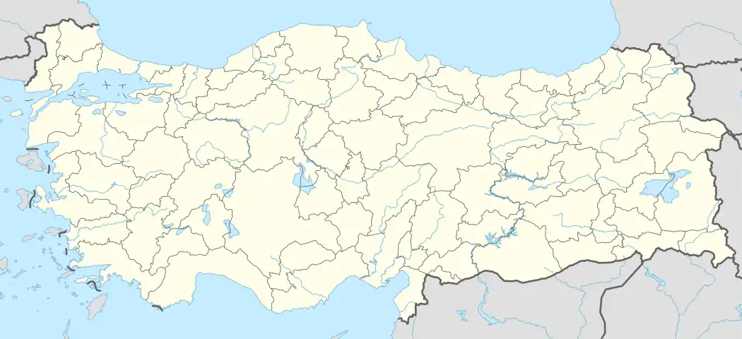 Ahırlı Location in Turkey  Ahırlı Ahırlı (Turkey Central Anatolia) | |
| Coordinates: 37°14′15″N 32°07′05″E / 37.23750°N 32.11806°E | |
| Country | Turkey |
| Province | Konya |
| Government | |
| • Mayor | İsa Akgül (AKP) |
| Area | 325 km2 (125 sq mi) |
| Elevation | 1,179 m (3,868 ft) |
| Population (2022)[1] | 4,574 |
| • Density | 14/km2 (36/sq mi) |
| Time zone | TRT (UTC+3) |
| Postal code | 42390 |
| Area code | 0332 |
| Climate | Csb |
| Website | www |
Ahırlı is a municipality and district of Konya Province, Turkey.[2] Its area is 325 km2,[3] and its population is 4,574 (2022).[1]
Composition
There are 15 neighbourhoods in Ahırlı District:[4]
- Akkise
- Aliçerçi
- Bademli
- Balıklava
- Büyüköz
- Çiftlikköy
- Çukurbucak
- Erdoğan
- Hamzalar
- Hengeme
- Karacakuyu
- Kayacık
- Küçüköz
- Kuruçay
- Merkez
References
- 1 2 "Address-based population registration system (ADNKS) results dated 31 December 2022, Favorite Reports" (XLS). TÜİK. Retrieved 19 September 2023.
- ↑ Büyükşehir İlçe Belediyesi, Turkey Civil Administration Departments Inventory. Retrieved 19 September 2023.
- ↑ "İl ve İlçe Yüz ölçümleri". General Directorate of Mapping. Retrieved 19 September 2023.
- ↑ Mahalle, Turkey Civil Administration Departments Inventory. Retrieved 19 September 2023.
External links
- District governor's official website (in Turkish)
Ahırlı in Konya Province of Turkey | |||||||||||||||||||||||||||
|---|---|---|---|---|---|---|---|---|---|---|---|---|---|---|---|---|---|---|---|---|---|---|---|---|---|---|---|
| Districts |  Districts of Konya | ||||||||||||||||||||||||||
| |||||||||||||||||||||||||||
Metropolitan municipalities are bolded. | |||||||||||||||||||||||||||
This article is issued from Wikipedia. The text is licensed under Creative Commons - Attribution - Sharealike. Additional terms may apply for the media files.