Suhopolje | |
|---|---|
Municipality | |
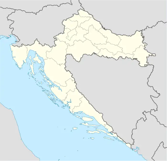 Suhopolje Location of Suhopolje in Croatia | |
| Coordinates: 45°48′N 17°30′E / 45.8°N 17.5°E | |
| Country | |
| County | |
| Area | |
| • Municipality | 166.6 km2 (64.3 sq mi) |
| • Urban | 29.7 km2 (11.5 sq mi) |
| Population (2021)[2] | |
| • Municipality | 5,267 |
| • Density | 32/km2 (82/sq mi) |
| • Urban | 2,237 |
| • Urban density | 75/km2 (200/sq mi) |
| Website | suhopolje |
Suhopolje is a settlement and an eponymous municipality in Slavonia, Croatia, located on the northern slopes of the Bilogora mountain in the region of Podravina, 10 km southeast of Virovitica; elevation 118 m. The population of the Suhopolje municipality is 6,683, with 2,696 people in Suhopolje itself and the rest in a number of surrounding villages.[3]
Municipality
List of settlements in the municipality:
- Suhopolje
- Borova
- Budanica
- Bukova
- Cabuna
- Dvorska
- Gaćište
- Gvozdanska
- Jugovo Polje
- Levinovac
- Mala Trapinska
- Naudovac
- Orešac
- Pčelić
- Pepelana
- Pivnica Slavonska
- Rodin Potok
- Sovjak
- Trnava Cabunska
- Velika Trapinska
- Zvonimirovo
- Žiroslavje
- Žubrica
Politics
Minority councils
Directly elected minority councils and representatives are tasked with consulting tasks for the local or regional authorities in which they are advocating for minority rights and interests, integration into public life and participation in the management of local affairs.[4] At the 2023 Croatian national minorities councils and representatives elections Serbs of Croatia fulfilled legal requirements to elect 10 members minority councils of the Municipality of Suhopolje.[5]
References
- ↑ Register of spatial units of the State Geodetic Administration of the Republic of Croatia. Wikidata Q119585703.
- ↑ "Population by Age and Sex, by Settlements, 2021 Census". Census of Population, Households and Dwellings in 2021. Zagreb: Croatian Bureau of Statistics. 2022.
- ↑ "Population by Age and Sex, by Settlements, 2011 Census: Suhopolje". Census of Population, Households and Dwellings 2011. Zagreb: Croatian Bureau of Statistics. December 2012.
- ↑ "Manjinski izbori prve nedjelje u svibnju, kreću i edukacije". T-portal. 13 March 2023. Retrieved 10 June 2023.
- ↑ "Informacija o konačnim rezultatima izbora članova vijeća i izbora predstavnika nacionalnih manjina 2023. X. VIROVITIČKO-PODRAVSKA ŽUPANIJA" (PDF) (in Croatian). Državno izborno povjerenstvo Republike Hrvatske. 2023. p. 15. Retrieved 10 June 2023.
Subdivisions of Virovitica-Podravina County | ||
|---|---|---|
| Towns |
| Coat of arms of Virovitica-Podravina County |
| Municipalities | ||
45°48′N 17°30′E / 45.800°N 17.500°E