Ou Chum
អូរជុំ | |
|---|---|
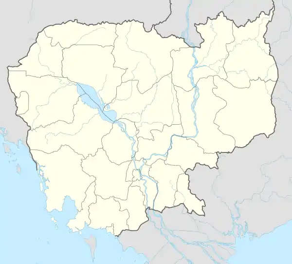 Ou Chum Location in Cambodia | |
| Coordinates: 13°50′27″N 107°01′49″E / 13.8407°N 107.0302°E | |
| Country | Cambodia |
| Province | Ratanakiri |
| Communes | Cha Ung, Chan/Puoy, Aekakpheap, Kalai, Ou Chum, Sameakki, L'ak |
| Population (1998) | |
| • Total | 11,863 |
| Time zone | UTC+7 (Cambodia time) |
| District code | 1406 |
Ou Chum (Khmer: អូរជុំ) is a district located in Ratanakiri Province, in north-east Cambodia. In 1998 it had a population of 11,863.[1] It contains 37 villages, which are located in seven communes.[1][2]
Communes
| Commune (khum) | Villages (phum)[1][2] | Population (1998)[1] |
|---|---|---|
| Cha Ung | Char Ung Ket, Char Ung Chan, Phlay Ampil, Thuoy Tum, Char Ung Kao | 1,733 |
| Chan/Pouy | Chan, Kan Saeung, Kreh, Ta Ngach, Svay, Khmaeng, Krala, Kang Kuy | 1,696 |
| Aekakpheap | Pa Or, Pa Chon Thum, Oum, Krouch | 1,752 |
| Kalai | Kalai Muoy, Kalai Pir, Kalai Bei | 820 |
| Ou Chum | Ou Chum, Tharang Chong, Svay, L'eun Kreaeng, L'eun Chong, Tang Pleng, Tang Kamal, L'eun Kangmis | 3,090 |
| Sameakki | Ka Meaen, Prak, Ba Nhuk, Ping | 1,424 |
| L'ak | L'ak, Kralong, Kouk, Kam, Phum Pir | 1,348 |
References
- 1 2 3 4 "Final Population Totals, Rotanak Kiri Province, 1998" Archived 2008-10-29 at the Wayback Machine. Cambodia National Institute of Statistics. Accessed June 6, 2008.
- 1 2 "Ratanak Kiri Province" Archived 2008-06-02 at the Wayback Machine. Cambodia National Institute of Statistics. Accessed June 6, 2008.
Capital city: Banlung | |||||||||||||||||||
| Landmarks |  | ||||||||||||||||||
| Administrative divisions |
| ||||||||||||||||||
| Autonomous municipality |
| ||
|---|---|---|---|
| Provinces | |||
13°50′27″N 107°01′49″E / 13.8407°N 107.0302°E
This article is issued from Wikipedia. The text is licensed under Creative Commons - Attribution - Sharealike. Additional terms may apply for the media files.