Iliomar | |
|---|---|
| |
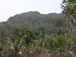 Tropical dry forest and Corypha palm savanna along the Lospalos–Uatucarbau road | |
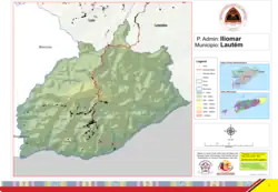 Official map | |
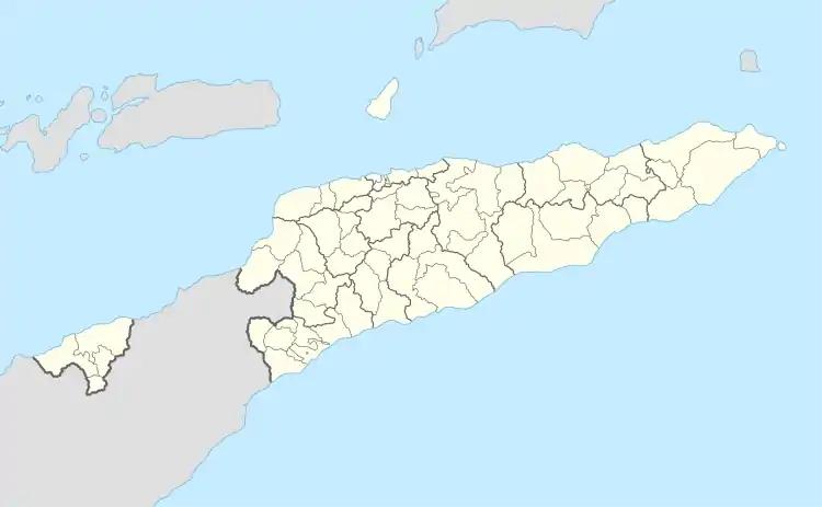 Iliomar | |
| Coordinates: 8°43′S 126°50′E / 8.717°S 126.833°E | |
| Country | |
| Municipality | Lautém |
| Seat | Aelebere |
| Sucos |
|
| Area | |
| • Total | 302.1 km2 (116.6 sq mi) |
| Population (2015 census) | |
| • Total | 7,449 |
| • Density | 25/km2 (64/sq mi) |
| Time zone | UTC+09:00 (TLT) |
Iliomar, officially Iliomar Administrative Post (Portuguese: Posto Administrativo de Iliomar, Tetum: Postu administrativu Iliomar), is an administrative post (and was formerly a subdistrict) in Lautém municipality, East Timor.[1][2] Its seat or administrative centre is Aelebere,[2] and its population at the 2004 census was 6,726.
References
- ↑ "Subdistricts of Timor-Leste". www.statoids.com. 4 May 2010. Retrieved 21 September 2022.
- 1 2 "Diploma Ministerial n.o 24/2014 de 24 de Julho Orgânica dos Postos Administrativos Preâmbulo" [Ministerial Diploma No. 24/2014 of 24 July Organic of Administrative Posts Preamble]. Jornal da República (in Portuguese). Government of East Timor. 24 July 2014. Archived from the original on 4 March 2016. Retrieved 21 September 2022.
External links
![]() Media related to Iliomar Administrative Post at Wikimedia Commons
Media related to Iliomar Administrative Post at Wikimedia Commons
- Iliomar Administrative Post – information page on Ministry of State Administration site (in Portuguese)
This article is issued from Wikipedia. The text is licensed under Creative Commons - Attribution - Sharealike. Additional terms may apply for the media files.