East Carnegie | |
|---|---|
 | |
| Coordinates: 40°25′12″N 80°04′16″W / 40.420°N 80.071°W | |
| Country | United States |
| State | Pennsylvania |
| County | Allegheny County |
| City | Pittsburgh |
| Area | |
| • Total | 0.432 sq mi (1.12 km2) |
| Population (2010)[1] | |
| • Total | 570 |
| • Density | 1,300/sq mi (510/km2) |
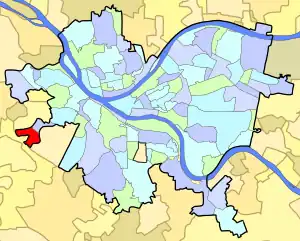
East Carnegie is a neighborhood located in the West End of Pittsburgh, Pennsylvania, United States, adjacent to the neighborhood of Oakwood. It is a "natural area" with large tracts of wooded land.
Most of East Carnegie uses a post office zip code of 15106, while a small part of this neighborhood uses a zip code of 15205. Residents have representation on Pittsburgh City Council by the council member for District 2 (West Neighborhoods).
Surrounding neighborhoods
East Carnegie has four borders, including the Pittsburgh neighborhood of Oakwood to the northeast, Crafton to the north, Scott Township to the west and southwest, and Green Tree to the east and southeast.
See also
References
- 1 2 "PGHSNAP 2010 Raw Census Data by Neighborhood". Pittsburgh Department of City Planning. 2012. Retrieved June 24, 2013.
Further reading
- Toker, Franklin (1994) [1986]. Pittsburgh: An Urban Portrait. Pittsburgh: University of Pittsburgh Press. ISBN 0-8229-5434-6.
External links
This article is issued from Wikipedia. The text is licensed under Creative Commons - Attribution - Sharealike. Additional terms may apply for the media files.