Termo | |
|---|---|
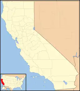 Termo Location in California  Termo Termo (the United States) | |
| Coordinates: 40°51′57″N 120°27′37″W / 40.86583°N 120.46028°W | |
| Country | United States |
| State | California |
| County | Lassen County |
| Elevation | 5,305 ft (1,617 m) |
| ZIP code | 96132[2] |
| Area code | 530 |
Termo (also, Snowstorm and Armstrong)[3] is a ghost town in Lassen County, California.[1] It was located on the now abandoned Southern Pacific Railroad line 32 miles (51 km) north-northeast of Susanville,[3] at an elevation of 5305 feet (1617 m).[1] This town straddles U.S. Highway 395 north of Ravendale.
It was the original 1900 terminus of the Nevada–California–Oregon Railway, before the line was extended north.[3] A post office opened in 1908, closed in 1914, and re-opened in 1915.[3]
References
- 1 2 3 U.S. Geological Survey Geographic Names Information System: Termo, California
- ↑ "Termo ZIP Code". zipdatamaps.com. 2022. Retrieved November 11, 2022.
- 1 2 3 4 Durham, David L. (1998). California's Geographic Names: A Gazetteer of Historic and Modern Names of the State. Clovis, Calif.: Word Dancer Press. p. 423-424. ISBN 1-884995-14-4.
External links
Municipalities and communities of Lassen County, California, United States | ||
|---|---|---|
| City |  Lassen County map | |
| CDPs | ||
| Unincorporated communities | ||
| Indian reservation | ||
| Ghost towns | ||
This article is issued from Wikipedia. The text is licensed under Creative Commons - Attribution - Sharealike. Additional terms may apply for the media files.